GEOSCIENCE AND REMOTE SENSING
TECHNICAL PROGRAM COMMITTEE

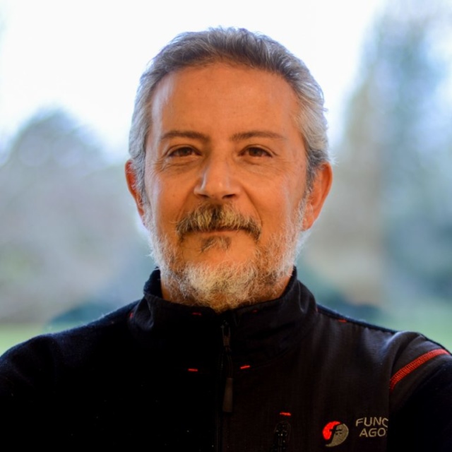
Carlos M. Scavuzzo
Marcelo is the Director of “Mario Gulich” Institute for Advanced Space Studies .
Investigator at CONAE since 1998.
Former Director of the Maestría en Aplicaciones de Información Espacial (MAIE) and current Director of Doctorado En Geomática y Sistemas Espaciales (DGSE).
Author of 77 indexed publications in Scopus H14.
Director of over 20 thesis of degree and postgraduate degree.
College Professor of degree and postgraduate degree since 1990.
|

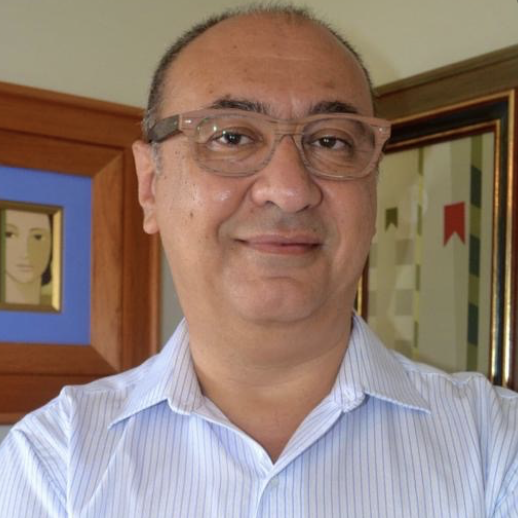
Jorge L. MárquezElectrical Engineer with or Electronics (UNMDP ,1979). PhD student in Electronic Engineering. Regular assistant professor. Worked at the CNIE (1981 to 1989). Currently Chief of Mar Chiquita Station, FAA Remote Sensing Center. Researcher RPIDFA Category C1. Senior member IEEE. President of local chapter IEEE-GRSS (Geoscience Remote Sensing Society). Areas of interest: Remote Sensing and Sensors, Signal Processing, Antennas, Receivers, Satellite Receiving Stations. Director of the PIDDEF 34/2016 project. Development of SDR receivers for telemetry and data. Representative for the CIN-UNMDP in the SNCAD-MinCyT. Jorge L. Márquez |
| Chair | Co-Chair |
DISTIGUISHED LECTURERS

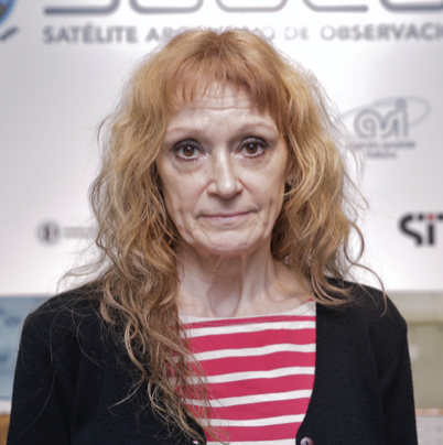
Laura FrullaLaura Frulla, PhD in Physical Sciences and researcher at the National Commission on Space Activities (CONAE) and current manager of Earth Observation at the SAOCOM Mission, is one of the women who led the construction of the last satellite built by the state-owned company from Bariloche, Rio Negro. Laura Frulla |

Alejandro FreryHe was born in Mendoza, Argentina, 21 February 1960. In 1983 he received the B.Sc. degree in Electronic and Electrical Engineering from the Universidad de Mendoza. His M.Sc. degree was in Applied Mathematics (Statistics) from the Instituto de Matemática Pura e Aplicada (IMPA, Rio de Janeiro, 1990) and his Ph.D. degree was in Applied Computing from the Instituto Nacional de Pesquisas Espaciais (INPE, São José dos Campos, Brazil, 1993). In 2007 he made a Postdoctoral stay of six months at IMPA, and in 2017 two months with the Northwest Institute of Eco-Environment and Resources (Chinese Academy of Sciences, Lanzhou) under the President’s International Fellowship Initiative. Since 2019 he holds a Huashan Scholar position from the Xiamen University, Xi’an, China. He served as Visiting Researcher at INPE during 1994 and 1995, and then he moved to the Universidade Federal de Pernambuco, Recife, Brazil where he was Visiting Professor (1996) and Assistant Professor (1997-2003). Since 2003 he is a full professor at the Universidade Federal de Alagoas, Brazil. Licensed from this position since May 2020, he is currently Professor of Statistics and Data Science with the Victoria University of Wellington, New Zealand . He is the founder of LaCCAN – Laboratório de Computação Científica e Análise Numérica. He was the University Vice-Chancellor for Research, Graduate Courses, and Innovation of Ufal from 2016 to 2020. Since 1993 he has been seamlessly awarded a CNPq Research Grant; he is currently Level 1B (the second highest level). After serving as Associate Editor for more than five years, Prof. Frery was the Editor-in-Chief of the IEEE Geoscience and Remote Sensing Letters (2014-2018). Since 2015 he is one of the IEEE Geoscience and Remote Sensing Society (GRSS) Distinguished Lecturers. In 2018 he received the IEEE GRSS Regional Leader Award. Since 2019 he serves as AdCom (Advisory Committee) member for the IEEE GRSS, in charge of Future Publications, Plagiarism, and Regional Symposia. His research interests are data visualization, statistical computing, and stochastic modeling, with applications in signal and image processing, and networks. Alejandro Frery |

Carlos Lopez MartinezCarlos López-Martínez (Senior Member, IEEE) received the M.Sc. degree in electrical engineering and the Ph.D. degree from the Universitat Politècnica de Catalunya, Barcelona, Spain, in 1999 and 2003, respectively.,He is currently an Associate Professor in the area of remote sensing and microwave technology with the Universitat Politècnica de Catalunya, Barcelona. He has a large professional international experience at DLR, Germany, University of Rennes 1, Rennes, France, and as a Group Leader of the Remote Sensing and Natural Resources Modeling Team, Luxembourg Institute of Science and Technology, Esch-sur-Alzette, Luxembourg. He has authored more than 200 articles in journals, books, and conference proceedings. His research interests include synthetic aperture radar (SAR) theory, statistics and applications, multidimensional SAR, radar polarimetry, physical parameter inversion, advanced digital signal processing, estimation theory, and harmonic analysis.,Dr. López-Martínez is a member of the ESA’s Sentinel ROSE-L Mission Advisory Group. He was a recipient of the EUSAR 2002 Conference Student Prize Paper Award. He coauthored the article awarded with the EUSAR 2012 Conference First Place Student Paper Award, and received the IEEE Geoscience and Remote Sensing Society (GRSS) 2013 GOLD Early Career Award. He has broad academic teaching experience from bachelor, master, and Ph.D. levels to advanced technical tutorials presented at international conferences and space and research institutions worldwide. He is an Associate Editor of the IEEE Journal of Selected Topics in Applied Earth Observations and Remote Sensing and MDPI Remote Sensing, acting also as Invited Guest Editor for several special issues. He has collaborated in the Spanish PAZ and the ESA’s SAOCOM-CS missions, in the proposal of the Parsifal mission. He was appointed Vice-President of the IEEE-GRSS Spanish chapter, and in 2016, he became its Secretary and Treasurer. From 2011, he collaborates with the IEEE-GRSS Globalization initiative in Latin America, contributing to the creation of the IEEE-GRSS Chilean Chapter and the Organization of the 2020 LAGIRSS Conference, being appointed as Latin America Liaison in 2019. He is also a Co-Chair of the Tutorial Technical Committee of the Indian 2020 InGARSS Conference.(Based on document published on 6 April 2020) |
| Distinguished Lecturer | Distinguished Lecturer | Distinguished Lecturer |
DESCRIPTION
It deals with the theory, concepts and techniques of science and engineering that are applied to the remote measurement and perception of land, remote sensing, oceans, atmosphere and space, as well as processing, interpretation and dissemination. of this information.
| SUGGESTED SUBTOPICS |
| For this topic, the following subtopics are suggested. Please note that you may send your paper beyond the scope of this list. In such a case, you must specify, in submission web form, the new subtopic that you consider your paper belongs to, as per instructions in Tutorial for Paper Submissions., under the paragraph How to specify a subtopic that is not predefined. |
- SCIENCE OF GEOSPACE DATA, COMPUTER VISION
- Algorithms and modeling.
- Data mining in Remote Sensing.
- Machine learning, big data.
- Emergency management and management. Geospatial health.
- SAR DATA
- Applications
- Algorithms and processing
- Digital terrain models
- Modeling and simulation.
- REMOTE SENSING
- Oceans, coasts and inner water bodies.
- Water resources
- Remote sensing in urban areas.
- Agriculture, forests.
- Archaeology.
- SATELLITES AND INSTRUMENTS (SENSORS)
- Geostationary Satellites EO. Orbits, instruments.
- Architectures, Observation instruments.
- Satellites and SAR sensors.
- Applications And Products.
- Application of UAV for remote sensing.
- Earth observation missions.
- ENVIRONMENT CLIMATE CHANGE
- Adaptation. Prevention. Danger. Vulnerability. Risk.
- Quantitative remote measurement of ODS2030 indicators.
ACCEPTED PAPERS
| ID | Título (Title) | Autor (Author) | Programa (Track) |
|---|---|---|---|
| 11 | Fires in Australia, smoke feather detection on Argentine territory on January 6 and 7, 2020 | Casasola, Facundo • Otero, Lidia A • Prieto, Maria De Los Angeles • Pereyra, Clodomira • Raponi, Marcelo • Ristori, Pablo | GEOSCIENCES AND REMOTE SENSING |
| 25 | Feasibility of the inversion of electromagnetic models to estimate soil salinity using SAOCOM data | Machado, Federico • Solorza, Romina | GEOSCIENCES AND REMOTE SENSING |
| 37 | Proximal Modelo for Ordered Data | Hoyos Sanchez, Juan Pablo • Pazos, Sebastian | GEOSCIENCES AND REMOTE SENSING |
| 40 | Stations network for measuring hydro-meteorological parameters of reservoirs in Córdoba, Argentina | Casas, Pablo E • Gomez , Mauro • Muchiut, Jonathan • Vitulich, Carlos Alberto • Murgio, Luis Alberto • Ruiz Días , Pedro • Ceballos, Matias • Corral, Mariano • Marasa, Micaela • Rodriguez Gonzalez, S | GEOSCIENCES AND REMOTE SENSING |
| 52 | Detection Module (MD) in Polarimetric SAR Images. Synthesis and Merger of Methods Used to Estimate the Position of Edge Points | Monferrán, Daniel J J • Sartarelli, Andrés | GEOSCIENCES AND REMOTE SENSING |
| 53 | Feature importance estimation in Epidemiological Machine Learning Models using SHAP | Scavuzzo, Juan • Scavuzzo, Carlos Matias • Espinosa, Manuel • Andreo, Veronica • Campero, Micaela • Periago, Victoria • Abril, Marcelo | GEOSCIENCES AND REMOTE SENSING |
| 78 | Accuracy assessment in the orthorectification of monoscopic VHR images for evolutionary algorithm PSO using together stereoscopic and GDEM | Ramirez, Miguel A • Upegui, Erika | GEOSCIENCES AND REMOTE SENSING |
| 89 | Weather Radar Parameters Obtained Through an MoM Simulation Validated with Real Data of Hydrometeors | Rodriguez, Guillermo D • Garcia, Ricardo E. • Bava, Alberto • Ferrando Bataller, Miguel | GEOSCIENCES AND REMOTE SENSING |
| 122 | Assessment of the Spatial and Seasonal Aerosols Distribution During 2017 Winter and Spring, in San Juan City, Argentina. | Aguilera Sammaritano, Mariela • Cometto, Pablo M • Casanas, Juan Manuel • González Vera, Mauro • Pons, Diego | GEOSCIENCES AND REMOTE SENSING |
| 161 | Evaluating Machine Learning Approaches for Evapotranspiration Estimation in the Pampean Region of Argentina | Teyseyre, Alfredo • Carmona, Facundo • Holzman, Mauro • Rodriguez, Juan Manuel • Schiaffino, Silvia • Rivas, Raul • Godoy, Daniela | GEOSCIENCES AND REMOTE SENSING |
| 170 | Monthly Deforestation Prediction using eXtreme Gradient Boosting based on MODIS EVI time series | Barraza, Veronica • Roitberg, Esteban • Grings, Francisco | GEOSCIENCES AND REMOTE SENSING |
| 188 | Environmental Data Collection Platform for DCS System | Juarez, Jose M • Carlotto, Adrian • Alvarez, Matias | GEOSCIENCES AND REMOTE SENSING |
| 203 | Implementation of an operative remote sensing frost product based on GOES-16 satellite | Lighezzolo, Andrés • Pons, Diego • Machado, Federico • Montero, Agustín • Mari, Nicolás • Martina, Agustín • Giobellina, Beatriz • Narmona, Luis • Bisio, Cali • Marani, Claudia • Eandi, Mariana • Rome | GEOSCIENCES AND REMOTE SENSING |
| 220 | Study of hydro-snowy dynamics in the Mendoza Andes using SAR data, optical data and gauging stations. | Heredia, Melisa S • Solorza, Romina • Carignano, Claudio | GEOSCIENCES AND REMOTE SENSING |
| 238 | Characterization of the hydrogeologic dynamics in lithium mining areas from satellite imagery. The case of Salar de Atacama, Chile | Seppi, Santiago A • German, Alba • Brasca Merlin, Almendra • Beltramone, Giuliana • Ferral, Anabella • Scavuzzo, Marcelo | GEOSCIENCES AND REMOTE SENSING |
| 242 | Evaluation of NDVI and SAR interferometric coherence time series to identify forests invaded by Ligustrum Lucidum W.T Aiton in Central Córdoba, Argentina | Alvarez, Paula • Karlin, Marco • Jacob, Alexander • Cora, Amanda • Bernasconi Salazzar, Javier • Ferral, Anabella | GEOSCIENCES AND REMOTE SENSING |
| 254 | Wet snow detection in Patagonian Andes with Sentinel-1 SAR temporal series analysis in GEE | Beltramone, Giuliana B • Ferral, Anabella • Scavuzzo, Marcelo • German, Alba | GEOSCIENCES AND REMOTE SENSING |
| 262 | Analysis of methane and nitrogen dioxide levels in oil production area using the TROPOMI/Sentinel-5P sensor | Represa, Soledad • Sanucci, Corina • Porta, Andrés | GEOSCIENCES AND REMOTE SENSING |
| 278 | MAIAC (v006) aerosol optical depth satellite product validation in Córdoba, Argentina (2017-2019) | Della Ceca, Lara • Garcia, Fernanda • Scavuzzo, Marcelo | GEOSCIENCES AND REMOTE SENSING |
| 308 | High Spatial Resolution Remote Sensing Image Scene Classification using CNN with Transfer Learning | Betti, Ayrton • Giraldez, Rocío • Seijas, Leticia M. • Marquez, Jorge | GEOSCIENCES AND REMOTE SENSING |
| 309 | Systematic Literature Review of the Water-Energy-Food Nexus: An Overview of the Field | Cáceres, Rocío • González, Arturo R. • Pereira , Gabriel • Ríos, Liz • Ríos, Richard G • Oxilia, Victorio | GEOSCIENCES AND REMOTE SENSING |
| 314 | Analysis of landslides in Córdoba mountain range, Argentina, based on geomorphometry and Differential SAR Interferometry | Solorza, Romina | GEOSCIENCES AND REMOTE SENSING |
| 333 | TBD | Lighezzolo, Andrés • Pons, Diego • Machado, Federico • Montero, Agustín • Mari, Nicolás • Martina, Agustín • Giobellina, Beatriz • Narmona, Luis • Bisio, Cali • Eandi, Mariana • Romero, Melisa • Maran | GEOSCIENCES AND REMOTE SENSING |
